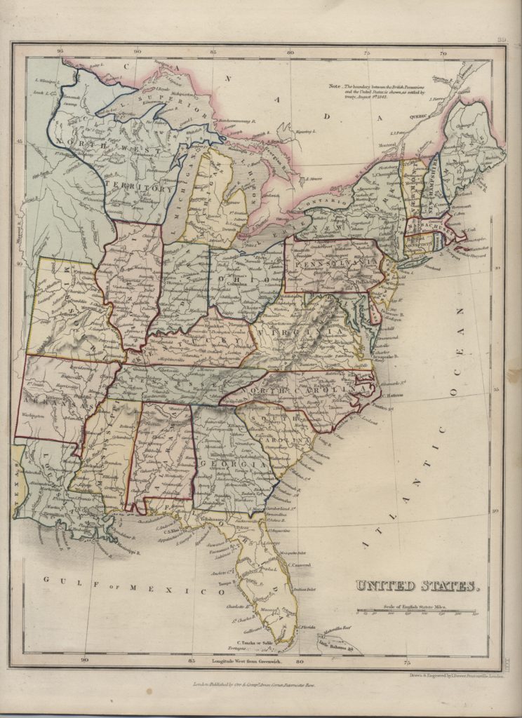
| Item: | Dower – United States, c.1845 |
| L.J.T.P. Number: | 500.008 |
| Medium: | Paper – 9 ¼ in. X 12 in. |
| Creator: | I. Dower – Pentonville, London |
| Publisher | Orr & Company; Amen Corner, Poternoster Row, London |
| Date: | c.1845 |
| Period: | Pioneering America 1801 – 1860 |
| Keywords: | North West Territory, Map, I. Dower |
| Citation: | Dower – United States, c.1845. c.1845. Library of John T. Pregler, Dubuque.
(Source: Library of John T. Pregler) |
| Remarks: | Map includes last part of the North West Territory (present day Wisconsin and part of Minnesota). Map marks Ft. Crawford at the confluence of the Mississippi River and the Ouisconsin River (present day Wisconsin River). |

